Leen Helmink Antique Maps
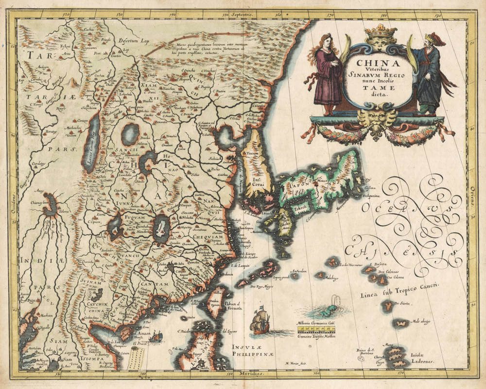
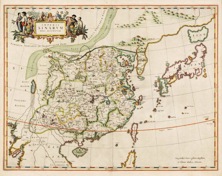
Antique map of China, Korea, Japan, Taiwan by Merian
Stock number: 19275
Zoom ImageCartographer(s)
Merian
Title
CHINA Veteribus Sinarum Regio nunc incolis TAME dicta.
First Published
Frankfurt, 1640
Size
27.0 x 34.5 cms
Technique
Condition
excellent
Price
$ 850.00
(Convert price to other currencies)
Description
Very handsome map of China by Matthias Merian after Willem and Johan Blaeu's famous 1638 map of the same. The geography is still quite inaccurate, and Korea is depicted as an island. Korea and Japan are prominently outlined. Two sailing ships, a sea monster and swash lettering decorate the ocean. A beautiful title cartouche in the upper right with a Chinese nobleman and lady.
The Chinese Wall is shown, with the following text in Latin:
"Murus quadringentarum leucarum inter montium crepidines a Rege Chinae contra Tartarorum ab hac parte eruptiones, extructus."
[ A wall of four hundred leagues has been constructed between the edges of the mountains by the King of China against the invasions of the Tartars in this part. ]
Lake Chimay is on the left, the legendary source of four great Asian rivers.
A desirable 17th century cornerstone map of the Chinese Empire.
