Leen Helmink Antique Maps & Atlases
www.helmink.com
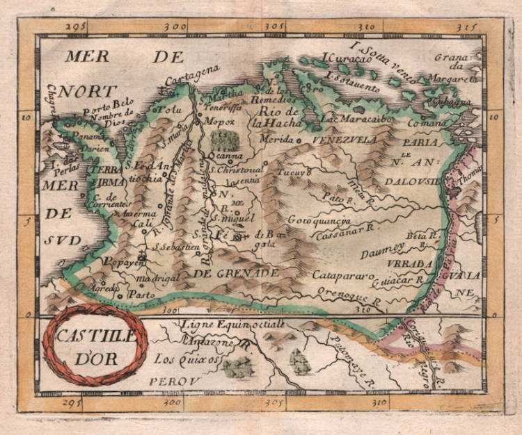
Pierre Du Val - Castile d'Or
Certificate of Authentication
This is to certify that the item illustrated and described below is a genuine and
original antique map or print that was published on or near the given date.
Dr Leendert Helmink, Ph.D.

Cartographer
Pierre Du Val
First Published
Paris, 1660
This edition
1660
Size
10.0 x 12.5 cms
Technique
Copper engraving
Stock number
18868
Condition
excellent
Description
Duval's rare map of Golden Castile, in attractive original colour. Collector's item.
Castilla de Oro or del Oro (Golden Castile) was the name given by the Spanish settlers at the beginning of the 16th century to the Central American territories from the Gulf of Urabá, near today's Colombian-Panamanian border, to the Belén River. The name "Castilla de Oro" was made official in May 1513 by King Ferdinand II of Aragon, then regent of the Crown of Castile.
Pierre Du Val (c.1619-1683)
Pierre Du Val was one of the most influential French mapmakers of the third quarter of the seventeenth century. He was the son-in-law and apprentice of Nicolas Sanson, the foremost French mapmaker of the period. From 1650, he was the official royal Geographer to the King of France Louis XIV, who had encouraged him to move to Paris. He published a wide range of atlases, individual maps of the world and the continents, as well as wall maps. His work was of great significance.