Leen Helmink Antique Maps
Old books, maps and prints by Jan Huygen van Linschoten
Jan Huygen van Linschoten (1563-1610)
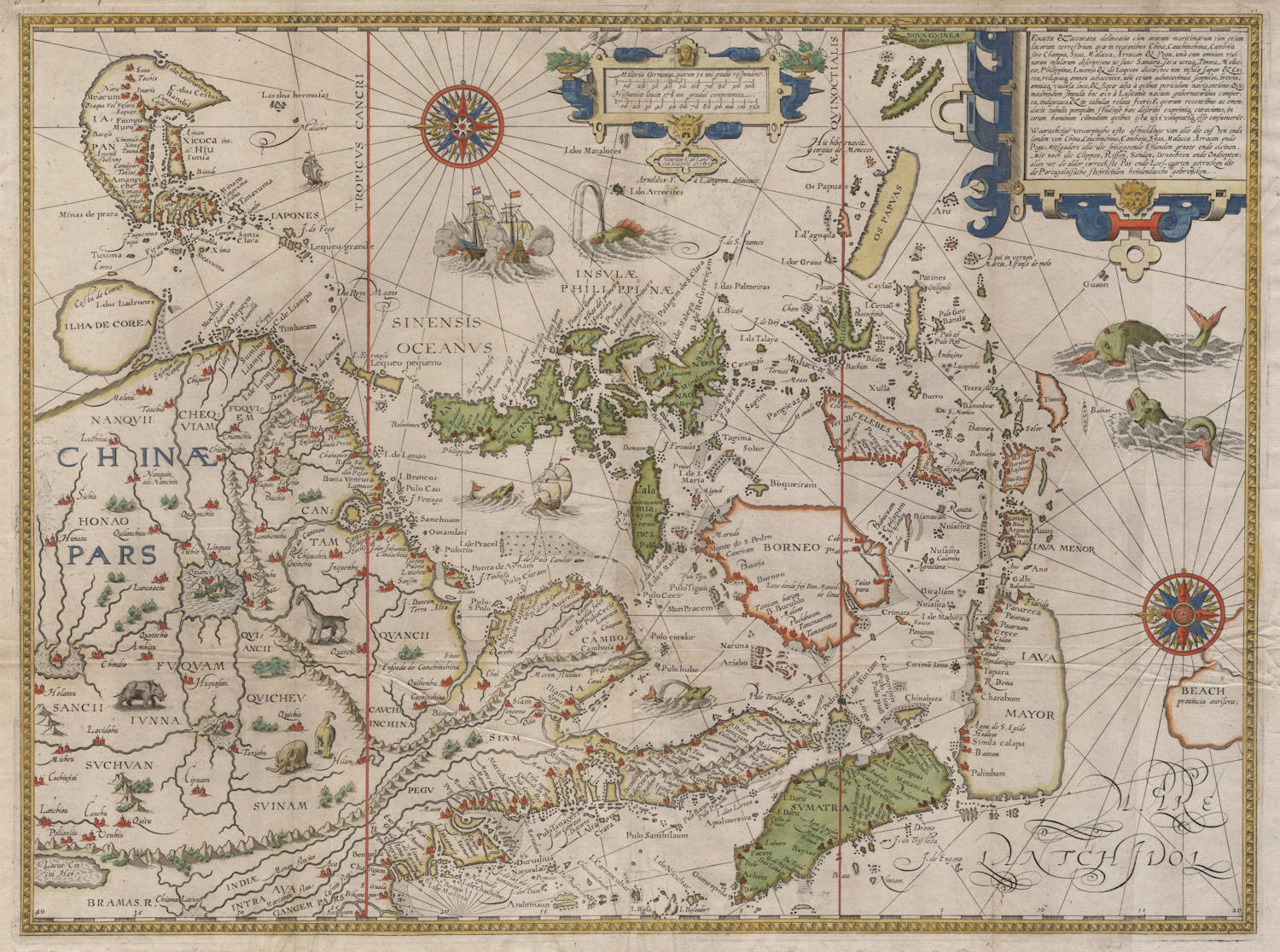
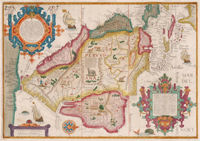
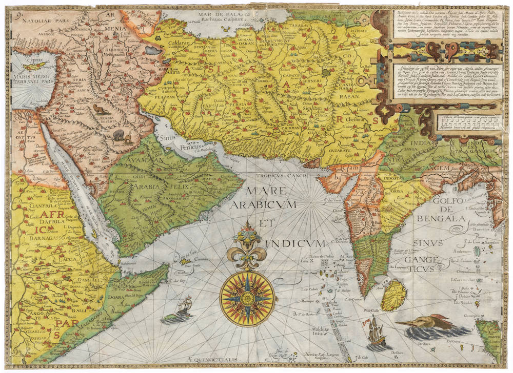
The five detail maps of Van Linschoten's Itinerario, all of which were engraved by Arnold Floris and Hendrik Floris van Langren, cover a large proportion of the non-European world known at the time. According to the map titles, these detail maps were composed with the aid of the best Portuguese and Spanish charts and rutters. These maps clearly reveal the influence of the set of maps that Cornelis Claesz had already published previously (1592-94), for which Petrus Plancius was responsible. Plancius's maps were copied for inclusion into Van Linschoten's work. These copies differ only in minor details from the originals.
(Schilder)
Van Linschoten, born in Haarlem, is heard of in the service of the Portuguese Archbishop of Goa where he spent five years between 1583 and 1588.
On his return to Holland he produced a History of his travels, important for the inclusion of maps from Portuguese sources, at that time rarely available to Dutch – or any other – cartographers. The maps (including a world map by Petrus Plancius) engraved by van Langren, are highly decorative with large cartouches, the arms of Portugal, compass roses, rhumb lines and sea monsters. Some are illustrated with views of prominent places or islands.
(Moreland and Bannister)


